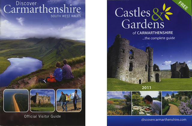
28. Carmarthenshire Leaflet!
Over the weekend me and my Mother set out to photograph the castles in our area. My mother, knowing I was planning on doing a project on Castles, managed to grab a small leaflet about the Castles in Carmarthenshire, which was ridiculously handy because it even contained a map which showed you where the castles were!
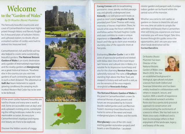
Here I have scanned in the leaflets, just to show what they are. I've also scanned in several pages which I found useful.
As you can see they are simple Visitor Guides, made, probably, for tourism purposes, highlighting various things to do in the Carmarthenshire area. The image on the right hand side was a small hand-out which noted the Gardens and Castles of Carmarthenshire for people to visit.
I thought the last image (above) of the leaflet was very useful, giving some basic information about the Castles, if it charged admission and their location, which was all very useful to me. I also thought the images helped, it gave me a sense of how much was left of the castle, with regards to remains. As much as I did want to visit a range of castles, one with next to no remains was hardly very useful.
Without a doubt, the most useful part of these Carmathenshire leaflets was the map!
It notes any castles in the area, including Kidwelly, which is the closest one to my home town of Llanelli. It shows main roads, which were very useful when travelling to some of these places which neither me nor my mother had ever visited before, plus there was a lovely index to name all of the Castles!
I've circled in blue the castles which we managed to visit on Friday the 8th of March. After doing some research on the Cadw website, which is the one the leaflet recommends for finding out any information about the castles, we found that all of the castles shut at around 4pm during March, so we did only mange to go to four, due to uncertainties about closing times.


Comments
Post a Comment